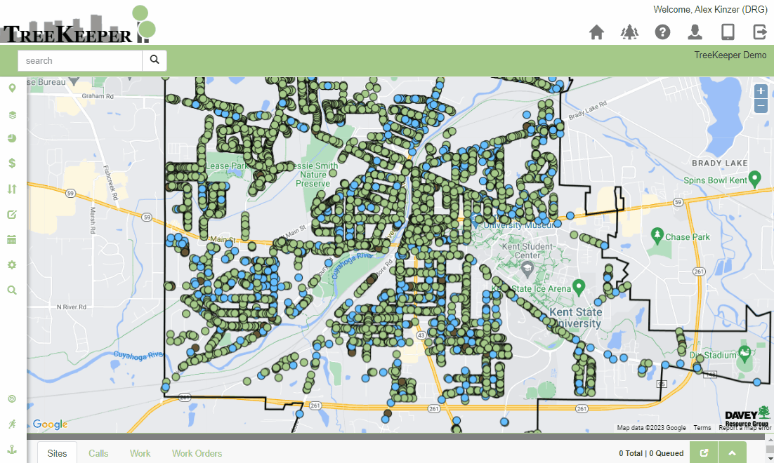
In TreeKeeper, layers are available to view on top of the base map. These are a way of distinguishing sets of data from one another. Certain layers can be viewable by guests while others can be hidden from their view. Contact TreeKeeper Support if you would like to make certain layers available/unavailable to guests:
Email: treekeepersupport@davey.com
Phone: 800-828-8312 x4857
Toggling Layers
Overlays
In the sidebar within the Layers tool, a layer can be toggled on or off by clicking the checkbox next to the desired layer. You can have one or many layers enabled at once.
If you’re curious about the symbology of a layer, its legend can be viewed by clicking on the layer name itself. If there are any questions about adding layers or changing symbology, contact the TreeKeeper Support Team.
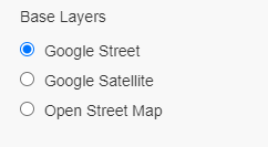
Base Layers
Below the set of togglable layers is a set of base layers. Base layers alter the map itself, changing it from street view to satellite view or custom aerial imagery (if provided).
Type of Layer | Description |
|---|---|
Data Layer (Facility) | A data layer is a set of data managed by the TreeKeeper system. Traditionally, these are broken down into Street Trees, Private Trees, or Park Trees, but can be any type of asset you’d like to manage and track. A typical TreeKeeper system will come with a Data Layer for its main inventory. |
Visual (Data Subset) Layer | These are custom visual representations in the system. Where there may be only one facility or set of data, there could be multiple visual layers to represent different parts of the data or display the data in a different way. |
Basemap (Shapefile) Layer | These are external files hosted on Davey’s mapping servers that display different layers such as city limits, park boundaries, bodies of water, streets, and parcels. Please consult with your GIS department (if applicable) to see what shapefiles they have available for integration into TreeKeeper. |
External Reference Layer (WMS/WFS Layer) | These layers are unique as Davey is not the host of the data but rather consumes a hosted service in order to display that information in TreeKeeper. Please see WMS/WFS Layer for more information. |
Base Layers | No map is complete without a base layer to reference data against. These options, found below your other layers, offer varying views of the surrounding area. By default, the Google Street View is enabled, but you can also choose from other options like Google Satellite and Open Street Maps. |
Aerial Imagery | As a base layer, there is an option to configure a .SID aerial imagery file for use in TreeKeeper. Not to worry though! If you do not have aerial imagery, Google Satellite is available in base layers. |