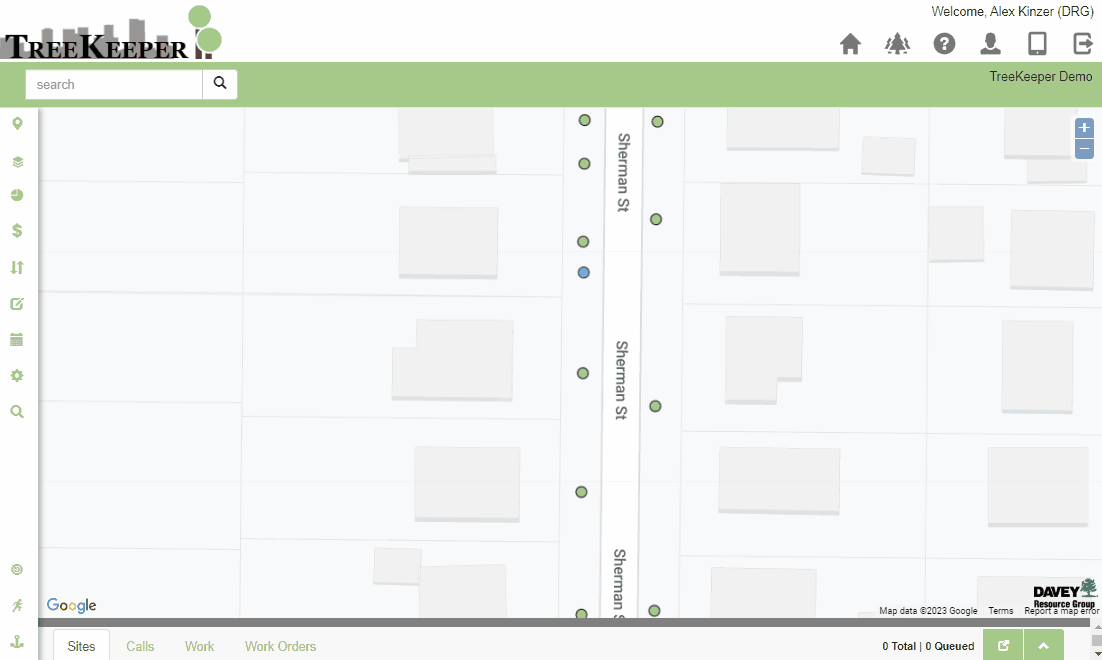
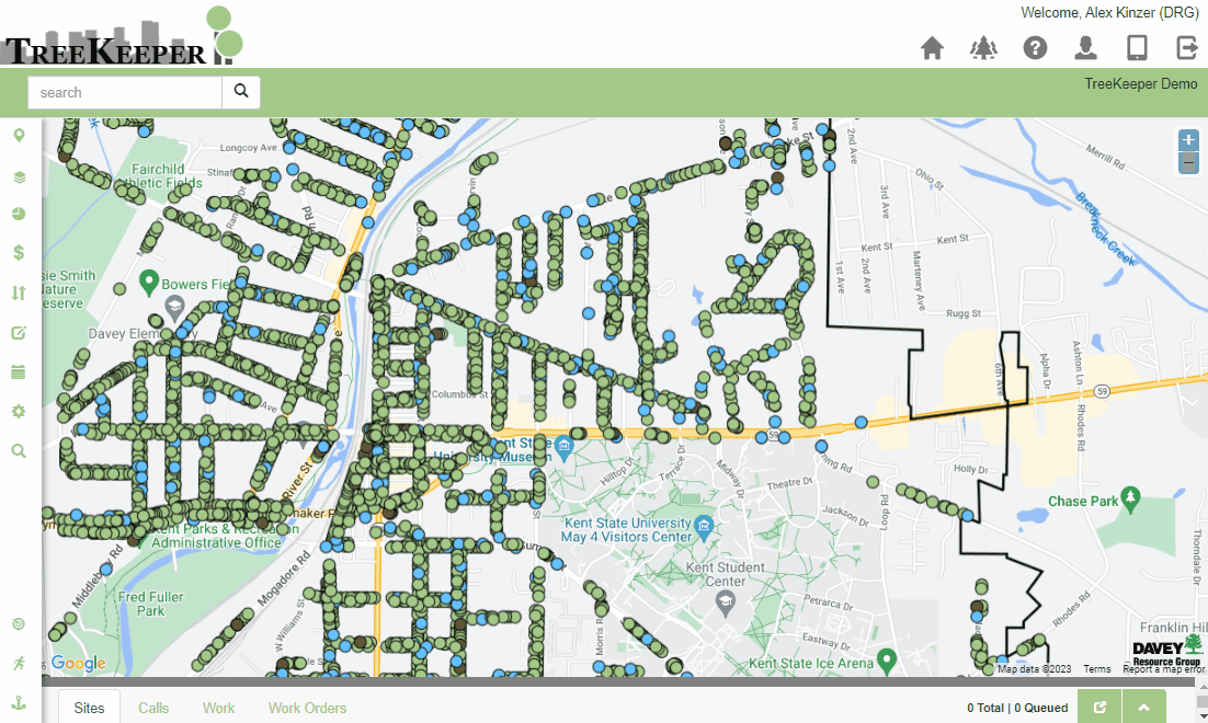
There are a variety of map tools Map Tools available in the sidebar to help us select sites and measure map areasyou navigate the map, manage your selected data, measure distance or area, and more.
Info Tool
The Info Tool is active by default. It’s the tool used to identify individual sites and pan around the map.

Select/Deselect By Rectangle
If we you want to select or deselect multiple sites at once, we you can utilize use the select Select or deselect Deselect by rectangle to quickly grab or clear a selection. The tool Rectangle tools to draw a rectangle on the map and quickly add or remove sites from your selected set.
These tools will remain toggled on until you select a different map tool. Selected sites will be displayed as selected on the map and the Data Grid at the bottom of the screen will be populated with the selected sites' information.

Select/Deselect by Polygon
To If you want to select or deselect sites in using a more precise or unique complex layout than a rectangle, we you can use the select Select or deselect Deselect by polygon Polygon tool. Single-click to add a vertice to the polygon and doubleclick double-click to complete your selection/deselection.
Similar to the select Select by rectangle Rectangle tool, selected sites will be displayed as selected on the map and the Data Grid at the bottom of the screen will be populated with the selected sites' information.

Zoom Box
The zoom box is another method for zooming into an area on the applicationmap. Draw Drawing a rectangle over an area to zoom to itwith this tool will zoom the map to that area.
Clear Map Selection
After a selection is made, instead of using either of the deselect tools to clear the mapselection, we you can use this shortcutthe Clear Map Selection tool. This deselects all currently selected sites or map tool functions and clears out the data gridData Grid. Don’t worry! This , this doesn’t erase any data.!

Measure Length/Area
If we need to figure out the length between pointsyou want to find the distance between sites, or the area of a portion of the mappark or parcel, these tools will allow us to help you find those measurements.
Measure Length:
Draw a multi-line object on the map by single-clicking to add to add a point and double-clicking to complete the line.
Measure Area:
Single-click to add a vertice to the polygon, double-click to complete your the polygon.
After completing the multi-line object or polygon, a pop up will appear telling you that the measured area measurement has been copied to your clipboard. You can then paste that length or square footage area value wherever you need.

Add Point/Line/Polygon
Adding a point, line, or polygon will be how we can add new sites to our The Add Point/Line/Polygon tools allow you to add data to your inventory. All three of the tools function in a similar manner where we may click to you place a sitepoint/draw a line or polygon, and double click to finalize it. They differ
in the type of site that they placeDifferent layer types will have different “Add” tools available, which are as follows:
Add Point: Places Adds a single point for data such as trees, benches, etc.
Add Line: Places Adds a line feature for data such as water lines, trails, etc.
Add Polygon: Places Adds a polygon feature for data such as districts or neighborhoods, gardens, etc.
| Info |
|---|
Each of these will only work for data layers and not for base layers. For more information on the difference please see: Terminology |
Please click here for more information about adding sites to the systemTreeKeeper: Add a Site